Political map world POLZO2
canvas, see more
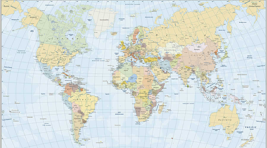

Take a colorful journey with our primary world map, where every color enriches your understanding of the globe. This map captivates with its vibrant primary colors and provides a wealth of geographic and educational content. The POLWO2 Political World Map, a children's map, offers a clear, colorful representation of countries in a child-friendly way. Bring the world into your little ones' space with our maps.
Political maps help people understand the geography of the world. They are usually the first type of map that students are introduced to in school. Unlike physical maps, which tend to show the geographical features of a specific area, political maps usually show the administrative boundaries of countries, states, or other units depending on the scale. Some political maps also include major cities in the region.
Preparation for old age should begin not later than one's teens. A life which is empty of purpose until 65 will not suddenly become filled on retirement.
As you age naturally, your family shows more and more on your face. If you deny that, you deny your heritage.